On Narrows Lock Road (County Highway 14) at the Rideau Canal, on the right when traveling north on Narrows Lock Road.
The construction of the Narrows blockhouse began in 1832 by William H. Tett,
a prominent Newboro merchant. This blockhouse is one of four constructed on the
Rideau Canal. Its architecture is a typical design utilized throughout . . . — — Map (db m207637) HM
On Narrows Lock Road (County Highway 14) at the Rideau Canal, on the right when traveling north on Narrows Lock Road.
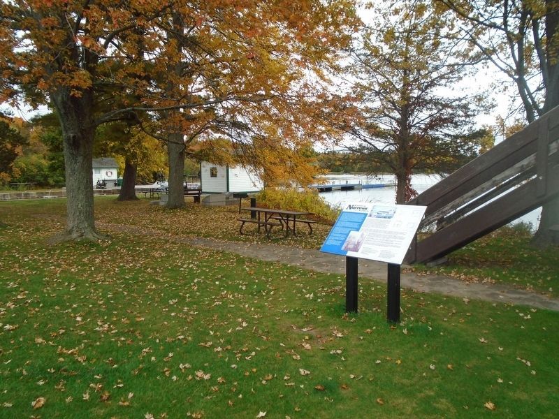
Before the arrival of the Royal Engineers, Rideau Lake stretched unbroken
for 35 km (22 miles) between Newboro and the entrance to the Rideau
River, 29 km (18 miles) to the north. There was, and is, no reason for this
lock with its 1 . . . — — Map (db m207654) HM
On Narrows Lock Road (County Highway 14) at the Rideau Canal, on the right when traveling north on Narrows Lock Road.
The Rideau Canal is a series of rivers and lakes connected by man-made channels and locks. There are 18 miles of artificial cut and 47 locks grouped in 23 lock stations, as well as many water control structures. These make the Rideau . . . — — Map (db m207658) HM
On Narrows Lock Road (County Highway 14) close to the Rideau Canal, on the right when traveling north.
The War of 1812 had shown that a successful defence of Canada against an American attack depended upon secure supply lines. The Rideau Canal was built as an alternate to the easily attacked St. Lawrence supply route. Blockhouses were . . . — — Map (db m207659) HM
On Narrows Lock Road (County Highway 14) at the Rideau Canal, on the right when traveling north on Narrows Lock Road.
Before the Rideau Canal was constructed The Narrows was but a shallow portion of one large lake. Original plans called for a channel to permit navigation. However, tough granite and malaria upstream at the Isthmus caused difficulties in . . . — — Map (db m207660) HM